Dayaks and Drones
Science and Technology
•
6m 55s
Even a well-managed, recognised forest faces constant challenges but innovative drone GPS technology, cooperative campaigning, local government support and eco-tourism are helping the Setulang people thrive. They have shown that community rights, the environment and development go hand in hand.
Setulang boasts clean water, sustainable fishing and hunting, building materials, fruit and traditional medicine, a ‘life bank’ for future generations. But by being in a heavily forested area they still face the growing threat of timber, oil palm and mining companies. The head of the village is looking to find new and innovative solutions to protect his land and a team of experts from West Kalimantan may have the answer. GPS based drones are being used for the first time to map community land and the results have been impressive.
Director: Paul Redman
Producers: If Not Us Then Who
2014 | 7 min
Indonesia
Languages: Spanish, Indonesian
Up Next in Science and Technology
-
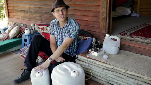
Climate Solver: Solar Turtle
A SolarTurtle is a small or micro for-profit business operating close or inside a poor or rural community to provide the same services as a standard utility provider. Unlike standard utilities, SolarTurtles rely on renewable energy (RE) to generate the electricity sold to their customers. The Sol...
-
Clear As Day: The Free Tech Saving Th...
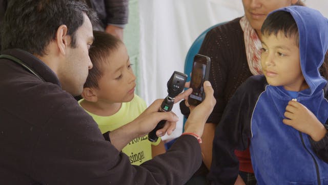
How do you tackle a global health problem that’s largely treatable, but the tools to diagnose it can’t reach its victims? Maybe an app is the answer. Meet Nitin Shrivastava, an M.D. Candidate at the University of Massachusetts Medical School who’s using a free app called CRADLE to diagnose Retino...


